
Occupational Qualification · G14
Geomatics Officer
- NQF Level
- NQF Level 5
- Credits
- 174
- Duration
- —
- SAQA ID
- 101407
Official QCTO Registry Profile
Source: SAQA / QCTO registry- SAQA ID
- 101407
- Min Credits
- 174
- Registered
- 2018-07-01
- Re-registration
- 2025-12-30
- Field
- Field 12 - Physical Planning and Construction
- Sub-field
- Physical Planning, Design and Management
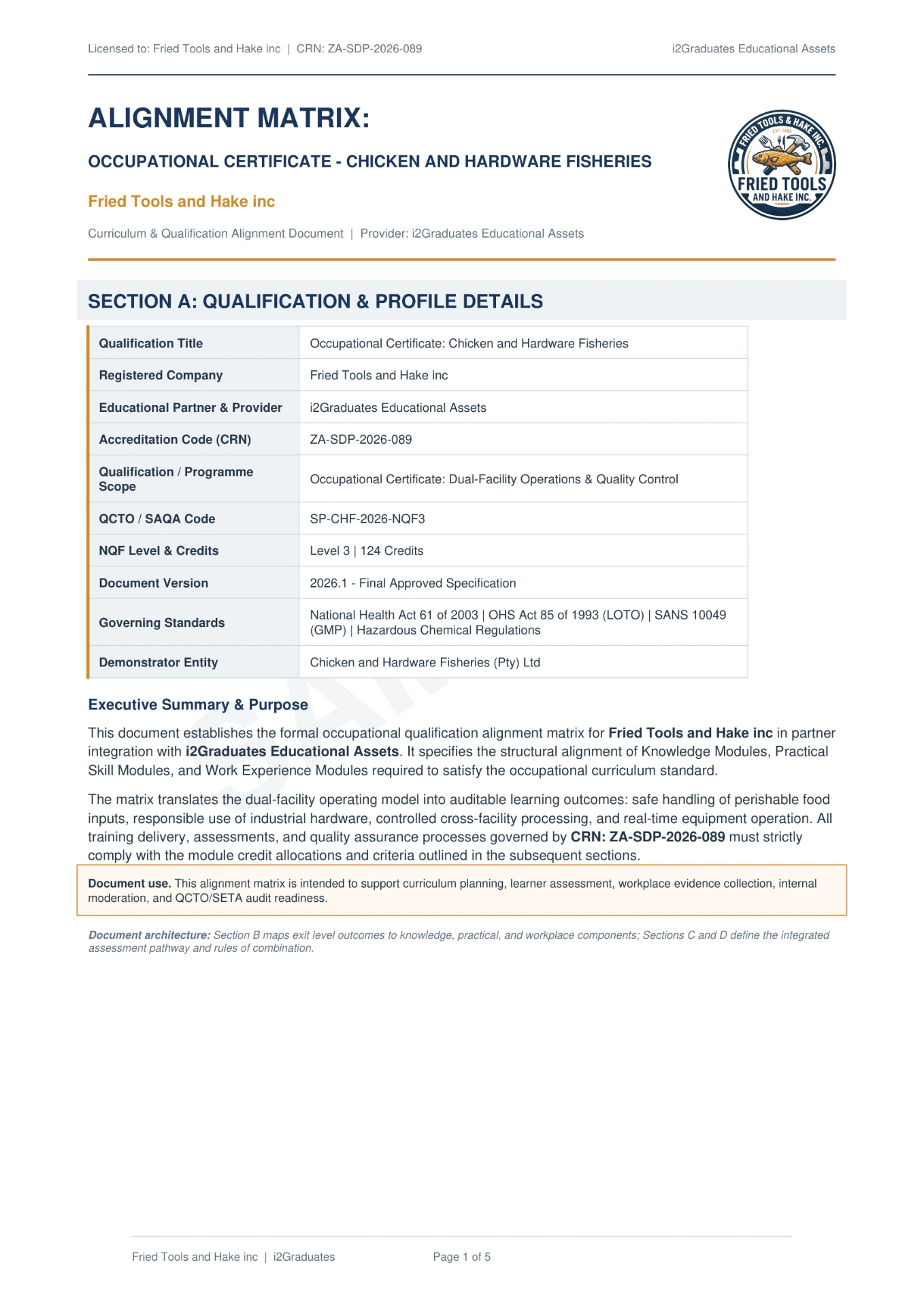
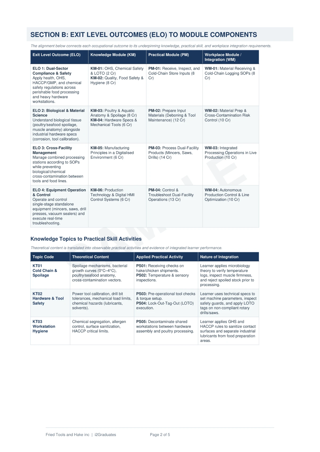
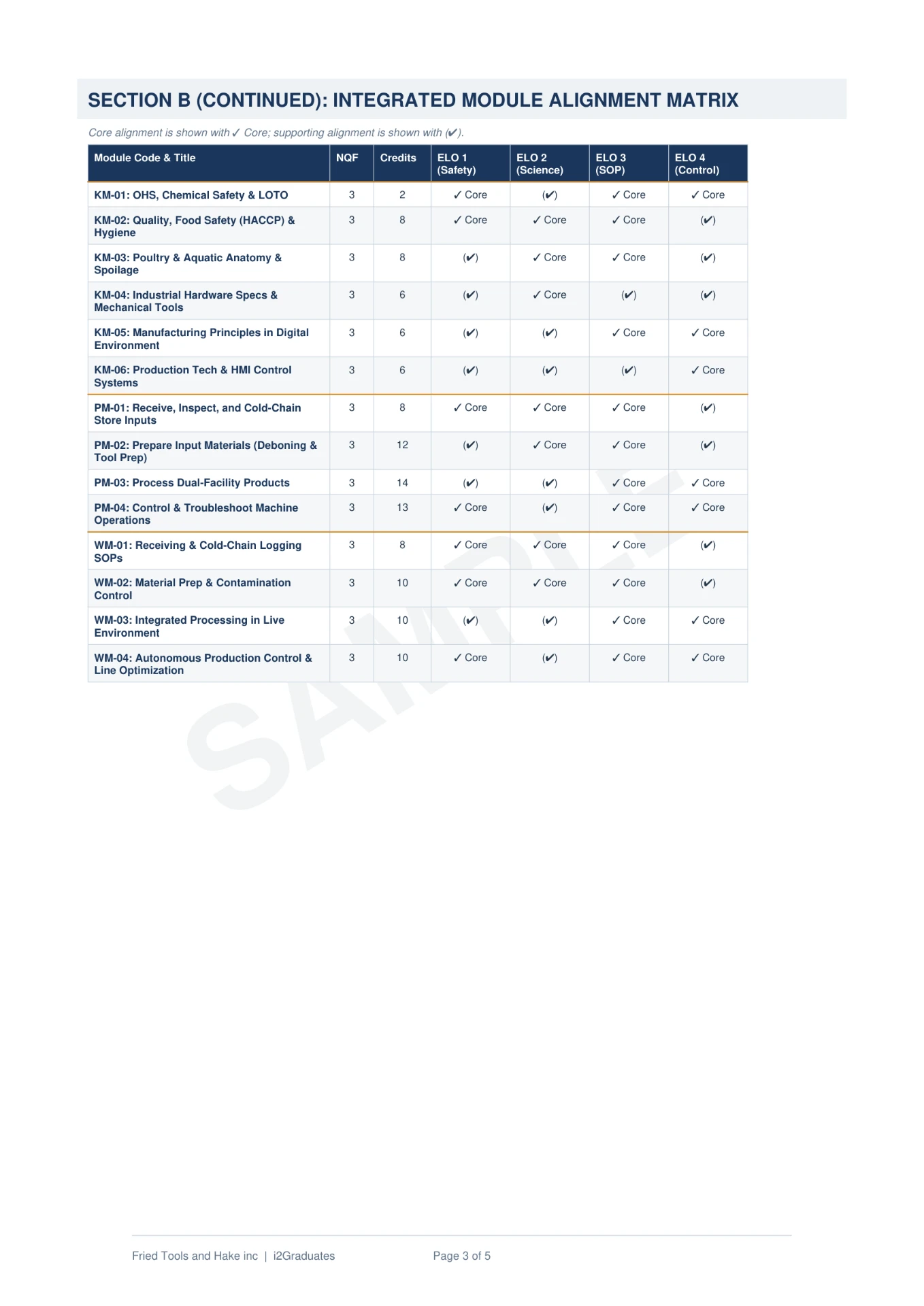
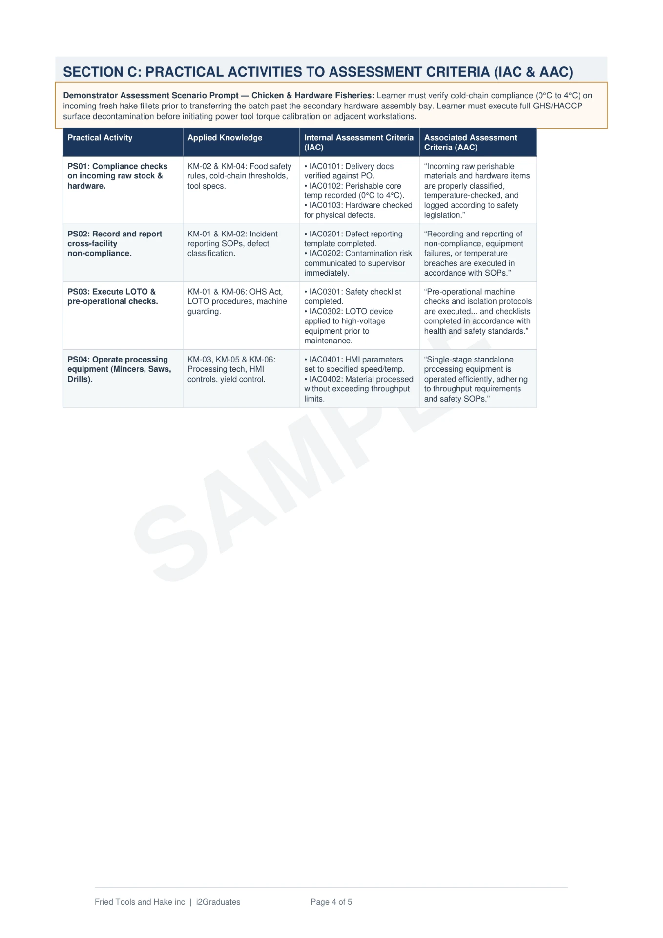
Sample Asset Preview
Overview & Scope
Programme Profile
- Target Designation
- Certified Geomatics Officer Practitioner
- Competency Focus
- Master specialised practical applications, safety criteria, and regulatory mandates required of a qualified Geomatics Officer.
- Academic Weight
- Full national recognition at NQF Level 5 yielding 174 credits upon successful PoE verification.
- Work Opportunities
- Deployment across As a qualified geomatics officer, you can find employment opportunities in Construction, Civil Engineering, Building. Your skills will be in demand across both public and private sectors, and you may also choose to work as an independent contractor or start your own business in this field. operations under CONSTRUCTION SETA DARDLR (aqp) scope.
- Audit Objective
- Bridges operational skills deficits under the governing CONSTRUCTION SETA DARDLR (aqp) quality matrix.
- Value Proposition
- Measurable, legally compliant skills that optimise productivity, satisfy Workplace Skills Plans (WSP), and unlock B-BBEE scorecard weight.
Introduction▾
The Geomatics Officer is a Occupational Certificate set at NQF Level 5, comprising 174 credits. This qualification has been carefully developed to provide you with the essential knowledge, practical skills, and workplace experience needed to excel in your chosen field. Whether you are starting your career or looking to formalise your existing expertise, this programme offers a structured pathway to competence and recognition.
Purpose▾
The purpose of this qualification is to prepare a learner to operate as a Geomatics Officer. A Geomatics Officer performs routine and/or predetermined tasks to assist Geomatics Technicians and/or professionals to capture, process and disseminate geospatial information and documents. A qualified learner will be able to: • Capture geospatial data, information and all supporting documentation, directly or indirectly for processing and use by internal and external stakeholders. • Process geospatial information and all supporting documentation to assess, preserve, maintain, amend, update, validate and customise, for dissemination and use by internal and external stakeholders. • Disseminate geospatial data, information and all supporting documentation to internal and external stakeholders.
Entry Requirements▾
Recognition of Prior Learning (RPL): RPL for access to the external Integrated Summative Assessment: Accredited providers and approved workplaces must apply the internal assessment criteria specified in the related curriculum document to establish and confirm prior learning. Accredited providers and workplaces must confirm prior learning by issuing a statement of result or certifying a work experience record. RPL for access to the qualification: Accredited providers and approved workplaces may recognise prior learning against the relevant access requirements. Entry Requirements: • NQF Level 4 with Mathematics and Science.
SAQA Rationale▾
As a result of past legacies many practitioners within the surveying occupational area were denied career advancement and possible registration with the professional survey council. This was as a direct result of poor educational opportunities at some schools, leading to a lack of entry to higher education institutes. The qualification was developed to help fill a scarce and critical skill and to contribute to the government initiative of skills development and alleviating poverty in society. Furthermore, the qualification will benefit those learners, who wish to further their studies in Geomatics at tertiary institutions.
Learning Assumed to be in Place & RPL▾
Recognition of Prior Learning (RPL): RPL for access to the external Integrated Summative Assessment: Accredited providers and approved workplaces must apply the internal assessment criteria specified in the related curriculum document to establish and confirm prior learning. Accredited providers and workplaces must confirm prior learning by issuing a statement of result or certifying a work experience record. RPL for access to the qualification: Accredited providers and approved workplaces may recognise prior learning against the relevant access requirements. Entry Requirements: • NQF Level 4 with Mathematics and Science.
Exit Level Outcomes▾
- Capture geospatial data, information and all supporting documentation, directly or indirectly for processing and use by internal and external stakeholders.
- Process geospatial information and all supporting documentation to assess, preserve, maintain, amend, update, validate and customise for dissemination and use by internal and external stakeholders.
- Disseminate geospatial data, information and all supporting documentation to internal and external stakeholders.
Learning Material Included
- Learner Guide (Theory and Knowledge Modules)
- Facilitator Guide
- Workplace Logbook
- Formative and Summative Assessment
- Assessor Guide & Marking Memorandum
- SETA / QCTO Alignment Matrix
- Administrative & Onboarding Pack
- Implementation Plan
Moderator-Ready Curriculum Breakdown
11 modules · 99 creditsTheory, regulatory and safety knowledge. Each row carries the registered module code, NQF level and credit weight used for formative assessment rubric mapping.
- 311202001-KM-014 cr
Surveying Theory
NQF Level 4
- 311202001-KM-0216 cr
Numerical Methods in Surveying
NQF Level 4
- 311202001-KM-038 cr
Computer Theory
NQF Level 4
- 311202001-KM-044 cr
Geographic Information Systems
NQF Level 4
- 311202001-KM-058 cr
Survey Drawing and Computer Aided Design
NQF Level 5
- 311202001-KM-074 cr
Remote Sensing and Photogrammetry
NQF Level 4
- 311202001-KM-086 cr
Mapping and Geographic Concepts
NQF Level 5
- 311202001-KM-094 cr
Cadastral Survey
NQF Level 4
Qualification 101407 · Curriculum Architecture
Occupational Certificate: Geomatics Officer · NQF Level 5 (174 Credits)
Three Curriculum Pillars
Knowledge Modules
Classroom & E-Learning
- Facilitated lectures & self-study
- Written question banks
- Formative comprehension checks
Practical Skill Modules
Simulated Line Tasks
- Simulated line tasks
- Observation rubrics
- Structured task sheets
Work Experience Modules
On-the-Job Production
- On-the-job rotation
- Mentor logbooks
- Workplace sign-offs
Evidence & Audit Pipeline
Learner Portfolio of Evidence (PoE)Owner · Candidate▾
Admin & Registration
ID, learner contract, induction pack, POPIA consent.
Knowledge Evidence
Written assessments & question banks — KM-01 to KM-07.
Practical Evidence
Task sheets, observation rubrics, assessor photos.
Workplace Evidence
Logbooks, mentor sign-offs, supervisor letters.
Assessor Master FileOwner · Registered Assessor▾
Assessment Reports
Judgements, learner feedback, remediation agreements, appeals log.
Internal Moderation & Quality FileOwner · Moderator / SDP▾
Moderation Evidence
10% sampling matrix, HACCP/LOTO compliance sheets, SDP sign-off.
Final Accreditation Gateway
Issued by the accredited Skills Development Provider once internal moderation is signed off.
Provider submits declaration + PoE to the Assessment Quality Partner (AQP).
QCTO awards the SAQA-registered certificate on successful EISA outcome.
Audit & Compliance
Evidence & Audit Pipeline
From portfolio assembly to external sign-off — the exact route your evidence travels.
- Step 1
PoE Assembly
Learner evidence, formative records and logbook entries filed against the alignment matrix.
- Step 2
Internal Assessment
Registered assessor judges each KM/PM/WM outcome using the supplied instruments.
- Step 3
Internal Moderation
Sampling and verification of assessor decisions, with remediation loop before submission.
- Step 4
External Moderation
SETA/QCTO desktop audit and certification upload against registered credits.
Broken Standard vs i2Graduates Standard
The measurable delta between improvised material and an audit-ready suite.
Broken Standard
i2Graduates Standard
Curriculum Mapping
Photocopied guides with mismatched outcomes
8 KM + 3 PM + 0 WM modules mapped to NQF Level 5
Assessment Bank
Missing formative and summative assessments
Pre-validated assessment bank per module
Alignment Evidence
No alignment matrix — audit fails
CONSTRUCTION SETA DARDLR (aqp) alignment matrix included
Facilitation
Facilitators improvise Geomatics Officer delivery
Facilitator scripts + learner activities per credit
Portfolio of Evidence
PoE gaps flagged in moderation
PoE templates that survive external moderation
Pricing & Delivery Tiers
Base licence from R63 700
Digital Master Suite
Editable master files, licensed to your SDP
- Learner Guide, Facilitator Guide & Assessment Suite
- Workplace logbook + alignment matrix (editable)
- Instant digital delivery under institutional licence
- Free minor corrections for 12 months
Turnkey Print & Bound Package
Printed, bound and couriered per learner
- Everything in the Digital Master Suite
- Full-colour print, wire-bound learner packs
- Per-learner PoE folders and dividers
- Nationwide courier with tracked delivery
Full Enterprise Accreditation Bundle
Assets plus accreditation support end-to-end
- Everything in the Print & Bound Package
- Bespoke QMS build mapped to your scope
- Moderation dry-run + written remediation report
- Brand & metadata integration across the suite
Complementary Services
Optional add-ons that harden your accreditation scope before an external audit.
Bespoke QMS Build
We author your Quality Management System — policies, procedures, records, matrices — mapped to your accreditation scope. From R18,500.
Request QuoteModeration Consultation
External moderation dry-run on your PoE + delivery pack. Written report with fixes before your real audit. From R4,900.
Book Moderation SessionThe i2Graduates Quality Guarantee
Every page of this bundle is checked for sequence and structural accuracy — no missing pages, no shortcuts. You get pre-validated assessment instruments ready to survive rigorous compliance moderation, wrapped in a curriculum your facilitators will enjoy teaching.